Lane to Eudon Burnell
Introduction
The photograph on this page of Lane to Eudon Burnell by Derek Harper as part of the Geograph project.
The Geograph project started in 2005 with the aim of publishing, organising and preserving representative images for every square kilometre of Great Britain, Ireland and the Isle of Man.

There are currently over 7.5m images from over 14,400 individuals and you can help contribute to the project by visiting https://www.geograph.org.uk
Lane to Eudon Burnell
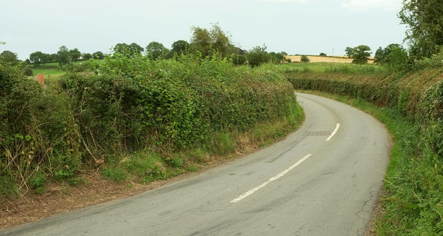
Image: © Derek Harper Taken: 26 Jul 2019
Tempting to peer around the bend seen in Image] - but the bend just keeps going. This is the Jack Mytton Way.
Images are licensed for reuse under creativecommons.org/licenses/by-sa/2.0
Image Location
Latitude
52.511392
Longitude
-2.463213