Stile and abandoned roadsign at the end of Sandy Lane
Introduction
The photograph on this page of Stile and abandoned roadsign at the end of Sandy Lane by Martyn Pattison as part of the Geograph project.
The Geograph project started in 2005 with the aim of publishing, organising and preserving representative images for every square kilometre of Great Britain, Ireland and the Isle of Man.

There are currently over 7.5m images from over 14,400 individuals and you can help contribute to the project by visiting https://www.geograph.org.uk
Stile and abandoned roadsign at the end of Sandy Lane
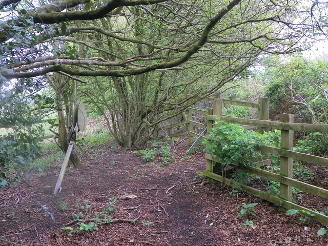
Image: © Martyn Pattison Taken: 18 Apr 2020
Sandy Lane was cut through when the Petersfield Bypass was built and is now a dead end, with a stile allowing the footpath to continue across the A3.
Images are licensed for reuse under creativecommons.org/licenses/by-sa/2.0
Image Location


Leaflet Map data © OpenStreetMap
Latitude
51.026912
Longitude
-0.917534