Upper Darkley Road
Introduction
The photograph on this page of Upper Darkley Road by Sean Davis as part of the Geograph project.
The Geograph project started in 2005 with the aim of publishing, organising and preserving representative images for every square kilometre of Great Britain, Ireland and the Isle of Man.

There are currently over 7.5m images from over 14,400 individuals and you can help contribute to the project by visiting https://www.geograph.org.uk
Upper Darkley Road
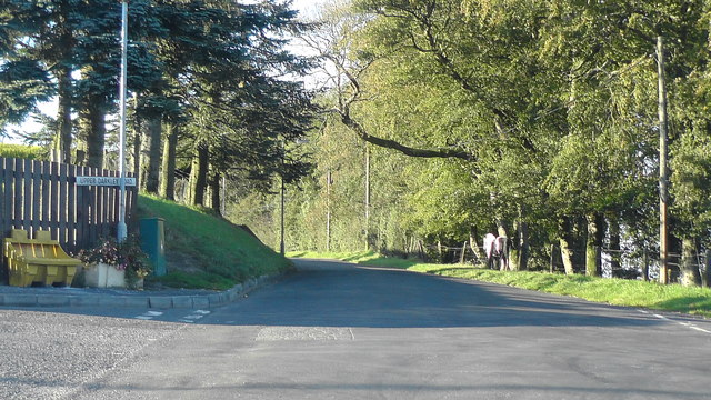
Image: © Sean Davis Taken: 20 Sep 2019
Leaving Darkley Village in the direction of Keady. The horse at the roadside seems to be enjoying the evening sun.
Images are licensed for reuse under creativecommons.org/licenses/by-sa/2.0
Image Location
Latitude
54.223706
Longitude
-6.680621