B4364 approaching Winterburn Brook crossing
Introduction
The photograph on this page of B4364 approaching Winterburn Brook crossing by Derek Harper as part of the Geograph project.
The Geograph project started in 2005 with the aim of publishing, organising and preserving representative images for every square kilometre of Great Britain, Ireland and the Isle of Man.

There are currently over 7.5m images from over 14,400 individuals and you can help contribute to the project by visiting https://www.geograph.org.uk
B4364 approaching Winterburn Brook crossing
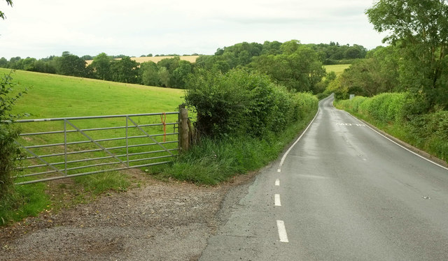
Image: © Derek Harper Taken: 26 Jul 2019
The B road swoops down to cross the stream before climbing to Faintree Hall. The wood on the other side is Lower Coppice, in Image Image was taken from the gate on the left.
Images are licensed for reuse under creativecommons.org/licenses/by-sa/2.0
Image Location
Latitude
52.495295
Longitude
-2.508116