Carse of Ardersier
Introduction
The photograph on this page of Carse of Ardersier by valenta as part of the Geograph project.
The Geograph project started in 2005 with the aim of publishing, organising and preserving representative images for every square kilometre of Great Britain, Ireland and the Isle of Man.

There are currently over 7.5m images from over 14,400 individuals and you can help contribute to the project by visiting https://www.geograph.org.uk
Carse of Ardersier
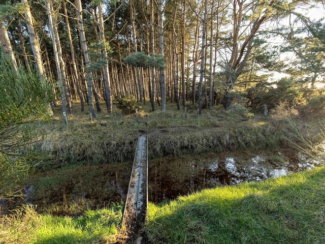
Image: © valenta Taken: 20 Mar 2020
A bridge over this drainage channel allows access to Whiteness Head along a path next to the fence line in Carse of Ardersier wood. The drain is full after many months of rainfall, compared to this view taken in September 2017 Image]
Images are licensed for reuse under creativecommons.org/licenses/by-sa/2.0
Image Location
Latitude
57.592658
Longitude
-4.005656