Iskymeadow Road
Introduction
The photograph on this page of Iskymeadow Road by Sean Davis as part of the Geograph project.
The Geograph project started in 2005 with the aim of publishing, organising and preserving representative images for every square kilometre of Great Britain, Ireland and the Isle of Man.

There are currently over 7.5m images from over 14,400 individuals and you can help contribute to the project by visiting https://www.geograph.org.uk
Iskymeadow Road
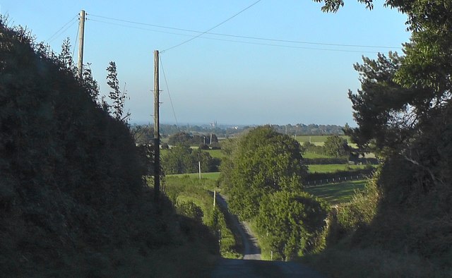
Image: © Sean Davis Taken: 20 Sep 2019
In the valley, immediately below, is the crossroads with Killyreavy Road, but it's hidden by the brow of the hill. Also if you look carefully you can see the spires of St Patrick's RC Cathedral at Armagh.
Images are licensed for reuse under creativecommons.org/licenses/by-sa/2.0
Image Location
Latitude
54.271204
Longitude
-6.691906