The road through Llansilin
Introduction
The photograph on this page of The road through Llansilin by Bob Harvey as part of the Geograph project.
The Geograph project started in 2005 with the aim of publishing, organising and preserving representative images for every square kilometre of Great Britain, Ireland and the Isle of Man.

There are currently over 7.5m images from over 14,400 individuals and you can help contribute to the project by visiting https://www.geograph.org.uk
The road through Llansilin
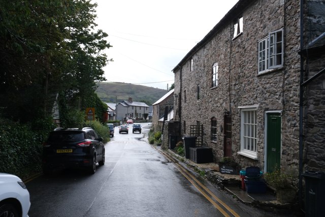
Image: © Bob Harvey Taken: 9 Oct 2019
This is the B4580 passing through the older part of the village. The building on the right is the converted former Maltings, described in Image
Images are licensed for reuse under creativecommons.org/licenses/by-sa/2.0
Image Location
Latitude
52.844759
Longitude
-3.175432