Frosty path
Introduction
The photograph on this page of Frosty path by Alan Murray-Rust as part of the Geograph project.
The Geograph project started in 2005 with the aim of publishing, organising and preserving representative images for every square kilometre of Great Britain, Ireland and the Isle of Man.

There are currently over 7.5m images from over 14,400 individuals and you can help contribute to the project by visiting https://www.geograph.org.uk
Frosty path
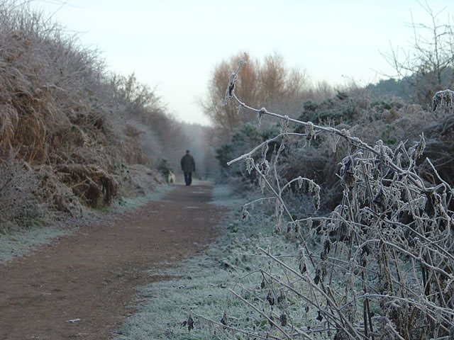
Image: © Alan Murray-Rust Taken: 23 Dec 2007
A path in the Vicar Water Country Park near Mansfield. This has been created on the waste tips of the former Clipstone Colliery.
Images are licensed for reuse under creativecommons.org/licenses/by-sa/2.0
Image Location
Latitude
53.157482
Longitude
-1.123446