The old part of Cawston
Introduction
The photograph on this page of The old part of Cawston by Ian Rob as part of the Geograph project.
The Geograph project started in 2005 with the aim of publishing, organising and preserving representative images for every square kilometre of Great Britain, Ireland and the Isle of Man.

There are currently over 7.5m images from over 14,400 individuals and you can help contribute to the project by visiting https://www.geograph.org.uk
The old part of Cawston
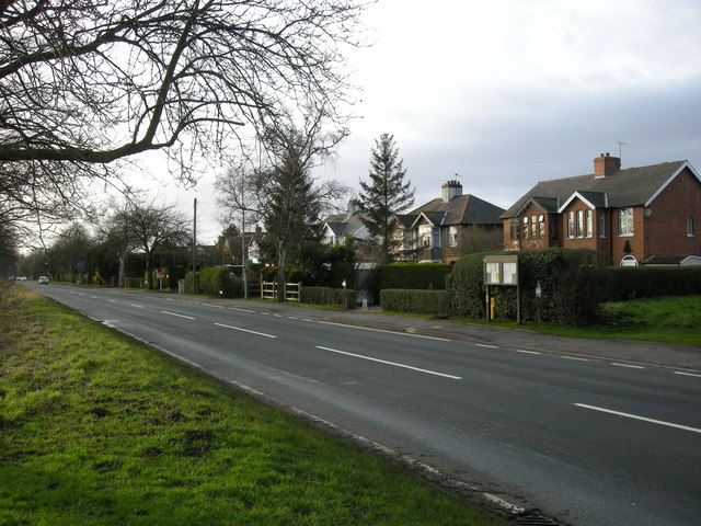
Image: © Ian Rob Taken: 29 Dec 2007
The original hamlet was a ribbon of houses on the north side of the A4071. The population has expanded with the large Cawston Grange Estate development which now almost links it to Bilton.
Images are licensed for reuse under creativecommons.org/licenses/by-sa/2.0
Image Location
Latitude
52.353949
Longitude
-1.309889