Cleared site of Oakdale Comprehensive School
Introduction
The photograph on this page of Cleared site of Oakdale Comprehensive School by M J Roscoe as part of the Geograph project.
The Geograph project started in 2005 with the aim of publishing, organising and preserving representative images for every square kilometre of Great Britain, Ireland and the Isle of Man.

There are currently over 7.5m images from over 14,400 individuals and you can help contribute to the project by visiting https://www.geograph.org.uk
Cleared site of Oakdale Comprehensive School
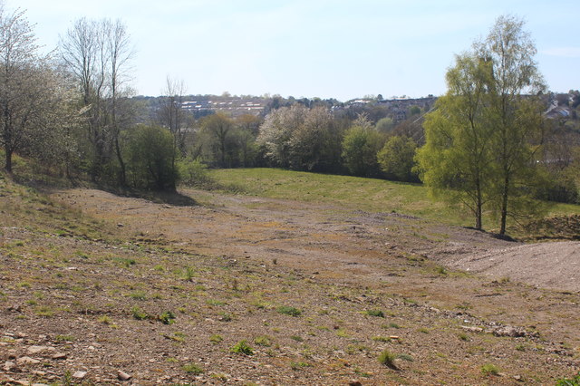
Image: © M J Roscoe Taken: 15 Apr 2020
Lower part of site of the former hillside school; top part in Image The grassy area was a sports pitch on the lowest section of the site.
Images are licensed for reuse under creativecommons.org/licenses/by-sa/2.0
Image Location
Latitude
51.674044
Longitude
-3.186956