Granary Drive
Introduction
The photograph on this page of Granary Drive by Sean Davis as part of the Geograph project.
The Geograph project started in 2005 with the aim of publishing, organising and preserving representative images for every square kilometre of Great Britain, Ireland and the Isle of Man.

There are currently over 7.5m images from over 14,400 individuals and you can help contribute to the project by visiting https://www.geograph.org.uk
Granary Drive
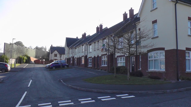
Image: © Sean Davis Taken: 16 Apr 2020
This is on the site of the old Keady Bakery. The bakery was famous for "The Keady Loaf". The high wall on the left was defence for the old police station / barracks.
Images are licensed for reuse under creativecommons.org/licenses/by-sa/2.0
Image Location
Latitude
54.247031
Longitude
-6.706417