Former Dyke Railway
Introduction
The photograph on this page of Former Dyke Railway by Simon Carey as part of the Geograph project.
The Geograph project started in 2005 with the aim of publishing, organising and preserving representative images for every square kilometre of Great Britain, Ireland and the Isle of Man.

There are currently over 7.5m images from over 14,400 individuals and you can help contribute to the project by visiting https://www.geograph.org.uk
Former Dyke Railway
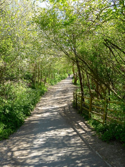
Image: © Simon Carey Taken: 15 Apr 2020
This section from Hangleton Way to the A27 is now paved and used as a cycle route.
Images are licensed for reuse under creativecommons.org/licenses/by-sa/2.0
Image Location
Latitude
50.855242
Longitude
-0.197212