Woodland Drive, Hove
Introduction
The photograph on this page of Woodland Drive, Hove by Simon Carey as part of the Geograph project.
The Geograph project started in 2005 with the aim of publishing, organising and preserving representative images for every square kilometre of Great Britain, Ireland and the Isle of Man.

There are currently over 7.5m images from over 14,400 individuals and you can help contribute to the project by visiting https://www.geograph.org.uk
Woodland Drive, Hove
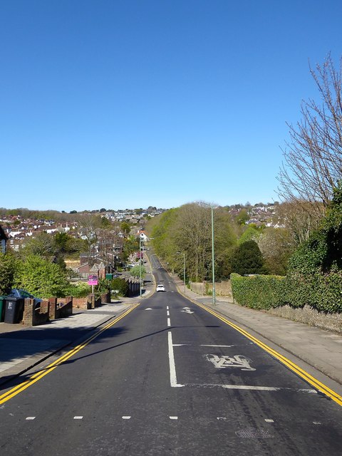
Image: © Simon Carey Taken: 15 Apr 2020
Residential road that links Nevill Road, the A2023, with Dyke Road Avenue. The road here dips into the former Goldstone Bottom then climbs to the peak of Red Hill. The line of trees in the distance to the left is Three Cornered Copse, the titular woodland.
Images are licensed for reuse under creativecommons.org/licenses/by-sa/2.0
Image Location
Latitude
50.845465
Longitude
-0.175713