Shelford Road
Introduction
The photograph on this page of Shelford Road by Mr Ignavy as part of the Geograph project.
The Geograph project started in 2005 with the aim of publishing, organising and preserving representative images for every square kilometre of Great Britain, Ireland and the Isle of Man.

There are currently over 7.5m images from over 14,400 individuals and you can help contribute to the project by visiting https://www.geograph.org.uk
Shelford Road
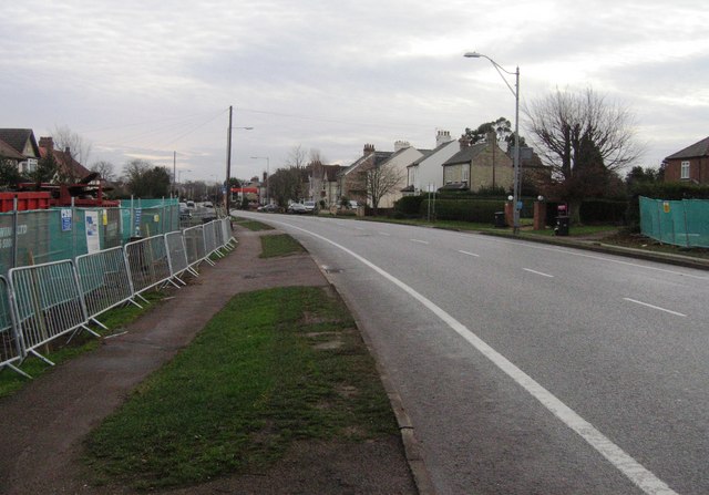
Image: © Mr Ignavy Taken: 27 Dec 2007
View taken from where the new Addenbrooke's access road will cross the A1301. The houses to either side of this picture have been demolished.
Images are licensed for reuse under creativecommons.org/licenses/by-sa/2.0
Image Location
Latitude
52.166857
Longitude
0.117946