Offa's Dyke at the Nanteris ravine, 1961
Introduction
The photograph on this page of Offa's Dyke at the Nanteris ravine, 1961 by Alan Murray-Rust as part of the Geograph project.
The Geograph project started in 2005 with the aim of publishing, organising and preserving representative images for every square kilometre of Great Britain, Ireland and the Isle of Man.

There are currently over 7.5m images from over 14,400 individuals and you can help contribute to the project by visiting https://www.geograph.org.uk
Offa's Dyke at the Nanteris ravine, 1961
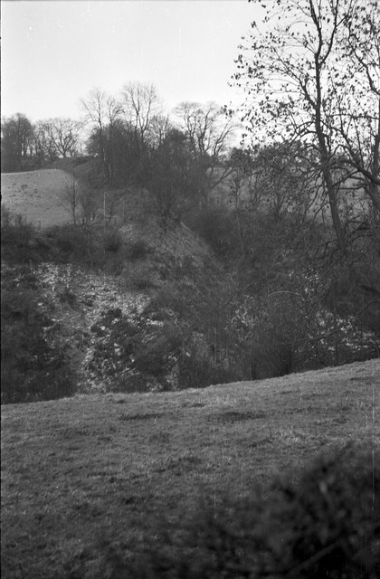
Image: © Alan Murray-Rust Taken: Unknown
Looking across the ravine. There has been a good deal of woodland growth since this view was taken. At this point the dyke still forms the England/Wales border, and is a shared Scheduled Monument
Images are licensed for reuse under creativecommons.org/licenses/by-sa/2.0
Image Location
Latitude
52.919202
Longitude
-3.109179