Upper Hindhope
Introduction
The photograph on this page of Upper Hindhope by Oliver Dixon as part of the Geograph project.
The Geograph project started in 2005 with the aim of publishing, organising and preserving representative images for every square kilometre of Great Britain, Ireland and the Isle of Man.

There are currently over 7.5m images from over 14,400 individuals and you can help contribute to the project by visiting https://www.geograph.org.uk
Upper Hindhope
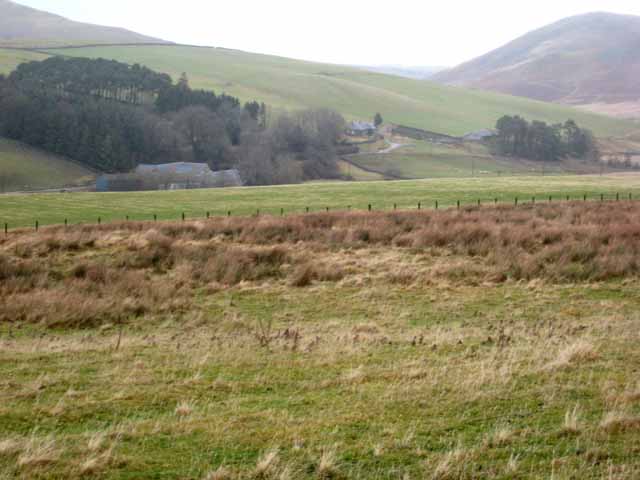
Image: © Oliver Dixon Taken: 30 Dec 2007
Farm in the remote Hindhope valley just north of the Border.
Images are licensed for reuse under creativecommons.org/licenses/by-sa/2.0
Image Location


Leaflet Map data © OpenStreetMap
Latitude
55.381584
Longitude
-2.379381