Public Bridleway, Holywell Dene
Introduction
The photograph on this page of Public Bridleway, Holywell Dene by Geoff Holland as part of the Geograph project.
The Geograph project started in 2005 with the aim of publishing, organising and preserving representative images for every square kilometre of Great Britain, Ireland and the Isle of Man.

There are currently over 7.5m images from over 14,400 individuals and you can help contribute to the project by visiting https://www.geograph.org.uk
Public Bridleway, Holywell Dene
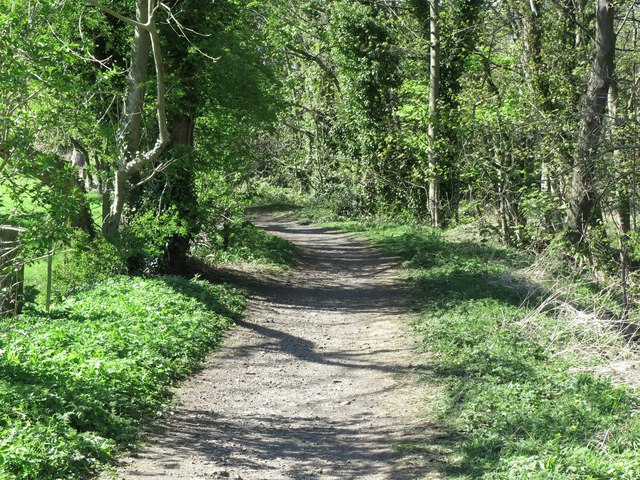
Image: © Geoff Holland Taken: 15 Apr 2020
This public bridleway links Holywell Village with a number of other bridleways and footpaths stretching out across an area that was once a hive of coal mining activity, riddled with a network of waggonways. It also lies on the route of the 'Tyne & Wear Heritage Way', an 80 mile route taking in the rich historic and industrial heritage of the area. The way is broken down into nine convenient sections that can be walked at any time, and in any order. For a selection of detailed free to download walking routes in the area visit www.northtynesidewalks.co.uk
Images are licensed for reuse under creativecommons.org/licenses/by-sa/2.0
Image Location
Latitude
55.06253
Longitude
-1.504907