Lag Lane approaching Thorpe Arnold
Introduction
The photograph on this page of Lag Lane approaching Thorpe Arnold by Tim Heaton as part of the Geograph project.
The Geograph project started in 2005 with the aim of publishing, organising and preserving representative images for every square kilometre of Great Britain, Ireland and the Isle of Man.

There are currently over 7.5m images from over 14,400 individuals and you can help contribute to the project by visiting https://www.geograph.org.uk
Lag Lane approaching Thorpe Arnold
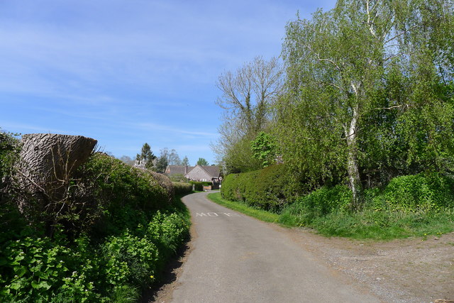
Image: © Tim Heaton Taken: 15 Apr 2020
'Thorpe' from old Norse 'torp', a secondary settlement, outlying farmstead http://kepn.nottingham.ac.uk/map/place/Leicestershire/Thorpe%20Arnold, 'Arnold' from Arnold de Bois, its first Norman owner (Wikipedia)
Images are licensed for reuse under creativecommons.org/licenses/by-sa/2.0
Image Location
Latitude
52.771742
Longitude
-0.859062