Peppers Lane, Burton Lazars
Introduction
The photograph on this page of Peppers Lane, Burton Lazars by Tim Heaton as part of the Geograph project.
The Geograph project started in 2005 with the aim of publishing, organising and preserving representative images for every square kilometre of Great Britain, Ireland and the Isle of Man.

There are currently over 7.5m images from over 14,400 individuals and you can help contribute to the project by visiting https://www.geograph.org.uk
Peppers Lane, Burton Lazars
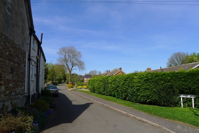
Image: © Tim Heaton Taken: 15 Apr 2020
Spelt Pepper's Lane (with apostrophe) at the top of the lane. Takes the Jubilee Way through Burton Lazars towards Melton Mowbray.
Images are licensed for reuse under creativecommons.org/licenses/by-sa/2.0
Image Location
Latitude
52.744979
Longitude
-0.861836