Footpath adjoining Beaumont Park Housing Estate, Whitley Bay
Introduction
The photograph on this page of Footpath adjoining Beaumont Park Housing Estate, Whitley Bay by Geoff Holland as part of the Geograph project.
The Geograph project started in 2005 with the aim of publishing, organising and preserving representative images for every square kilometre of Great Britain, Ireland and the Isle of Man.

There are currently over 7.5m images from over 14,400 individuals and you can help contribute to the project by visiting https://www.geograph.org.uk
Footpath adjoining Beaumont Park Housing Estate, Whitley Bay
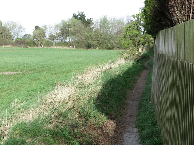
Image: © Geoff Holland Taken: 14 Apr 2020
This footpath is not shown on the current Ordnance Survey 1:25K map of the area nor is it a designated public footpath. It extends from a point just next to the kissing gate shown at https://www.geograph.org.uk/photo/6443234 to the course of the old Avenue Branch of the Blyth & Tyne Railway, now designated as a 'traffic-free cycle route'. For a selection of detailed free to download walking routes in the area visit www.northtynesidewalks.co.uk
Images are licensed for reuse under creativecommons.org/licenses/by-sa/2.0
Image Location
Latitude
55.054405
Longitude
-1.474483