Public Footpath near the Beehive Inn, Whitley Bay
Introduction
The photograph on this page of Public Footpath near the Beehive Inn, Whitley Bay by Geoff Holland as part of the Geograph project.
The Geograph project started in 2005 with the aim of publishing, organising and preserving representative images for every square kilometre of Great Britain, Ireland and the Isle of Man.

There are currently over 7.5m images from over 14,400 individuals and you can help contribute to the project by visiting https://www.geograph.org.uk
Public Footpath near the Beehive Inn, Whitley Bay
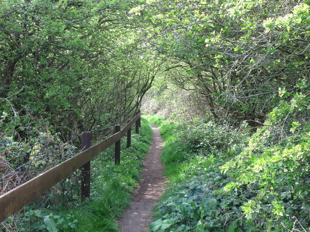
Image: © Geoff Holland Taken: 14 Apr 2020
This is the final western stretch of the public footpath the links the course of the old Avenue Branch of the Blyth & Tyne Railway, now designated as a 'traffic-free cycle route', with Hartley Lane (B1325) and the Beehive Inn. It follows immediately after the kissing gate shown at https://www.geograph.org.uk/photo/6442432. For a selection of detailed free to download walking routes in the area visit www.northtynesidewalks.co.uk
Images are licensed for reuse under creativecommons.org/licenses/by-sa/2.0
Image Location
Latitude
55.055084
Longitude
-1.486058