Old Boundary Marker
Introduction
The photograph on this page of Old Boundary Marker by S Wells as part of the Geograph project.
The Geograph project started in 2005 with the aim of publishing, organising and preserving representative images for every square kilometre of Great Britain, Ireland and the Isle of Man.

There are currently over 7.5m images from over 14,400 individuals and you can help contribute to the project by visiting https://www.geograph.org.uk
Old Boundary Marker
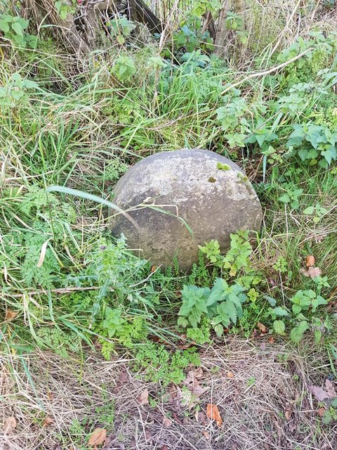
Image: © S Wells Taken: 12 Nov 2019
Parish Boundary Marker on the southwest side of the B6214 Brandlesholme Road. This was on the boundary of Tottington and Bury, but is now entirely in Bury. Milestone Society National ID: LA_BURY01pb
Images are licensed for reuse under creativecommons.org/licenses/by-sa/2.0
Image Location
Latitude
53.618505
Longitude
-2.323322