Former site of Aitkenbar Primary School
Introduction
The photograph on this page of Former site of Aitkenbar Primary School by Lairich Rig as part of the Geograph project.
The Geograph project started in 2005 with the aim of publishing, organising and preserving representative images for every square kilometre of Great Britain, Ireland and the Isle of Man.

There are currently over 7.5m images from over 14,400 individuals and you can help contribute to the project by visiting https://www.geograph.org.uk
Former site of Aitkenbar Primary School
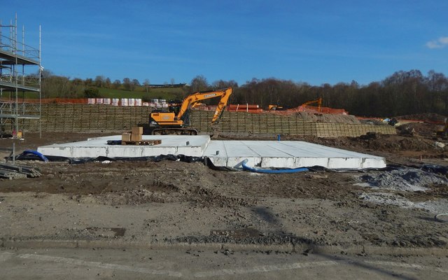
Image: © Lairich Rig Taken: 22 Mar 2020
It was taken on the same day as Image, with some of the same details visible. The site is being developed for housing; see Image for more information and for links.
Images are licensed for reuse under creativecommons.org/licenses/by-sa/2.0
Image Location
Latitude
55.954538
Longitude
-4.546456