Tree by the clay pit, Barton
Introduction
The photograph on this page of Tree by the clay pit, Barton by Paul Harrop as part of the Geograph project.
The Geograph project started in 2005 with the aim of publishing, organising and preserving representative images for every square kilometre of Great Britain, Ireland and the Isle of Man.

There are currently over 7.5m images from over 14,400 individuals and you can help contribute to the project by visiting https://www.geograph.org.uk
Tree by the clay pit, Barton
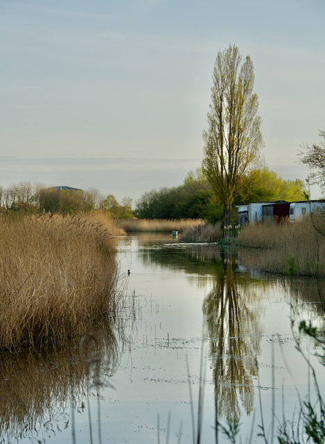
Image: © Paul Harrop Taken: 14 Apr 2020
Looking up from the southern end of one of the bigger ponds at the country park, which is based around the network of flooded pits from which clay was once extracted for the area's extensive brick and tile making industry https://www.northlincs.gov.uk/tourism-museums-the-arts/waters-edge-visitor-centre-and-country-park/waters-edge-visitor-information/history-of-waters-edge/.
Images are licensed for reuse under creativecommons.org/licenses/by-sa/2.0
Image Location


Leaflet Map data © OpenStreetMap
Latitude
53.692701
Longitude
-0.433755