Briar Gate, Long Eaton 1
Introduction
The photograph on this page of Briar Gate, Long Eaton 1 by David Lally as part of the Geograph project.
The Geograph project started in 2005 with the aim of publishing, organising and preserving representative images for every square kilometre of Great Britain, Ireland and the Isle of Man.

There are currently over 7.5m images from over 14,400 individuals and you can help contribute to the project by visiting https://www.geograph.org.uk
Briar Gate, Long Eaton 1
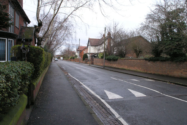
Image: © David Lally Taken: 30 Dec 2007
Briar Gate runs approximately Northward for about three quarters of a mile, from Derby Road to Longmoor Road. It is fascinating for its slide down the property market as you head North. At the Derby Road end are some of what must be the most expensive houses in the area. Before the junction with Canal Street each is an individually designed detached with (I'd guess) between 4 and 6 bedrooms, from between 1920 and 1940 (again a guess) Continued: Image
Images are licensed for reuse under creativecommons.org/licenses/by-sa/2.0
Image Location
Latitude
52.901214
Longitude
-1.287849