Old Boundary Marker
Introduction
The photograph on this page of Old Boundary Marker by M Barrow as part of the Geograph project.
The Geograph project started in 2005 with the aim of publishing, organising and preserving representative images for every square kilometre of Great Britain, Ireland and the Isle of Man.

There are currently over 7.5m images from over 14,400 individuals and you can help contribute to the project by visiting https://www.geograph.org.uk
Old Boundary Marker
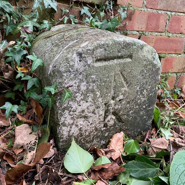
Image: © M Barrow Taken: 26 Jan 2019
Parish Boundary Marker 150 metres northwest of Redlands Road on footpath to Brittains Lane. On the boundary of St Mary Kippington, SEVENOAKS. Inscribed K / St M / D / 1877 / No.4. Milestone Society National ID: KE_SEVSTM04pb
Images are licensed for reuse under creativecommons.org/licenses/by-sa/2.0
Image Location
Latitude
51.274617
Longitude
0.176774