Poppleton Well
Introduction
The photograph on this page of Poppleton Well by Paul Elcock as part of the Geograph project.
The Geograph project started in 2005 with the aim of publishing, organising and preserving representative images for every square kilometre of Great Britain, Ireland and the Isle of Man.

There are currently over 7.5m images from over 14,400 individuals and you can help contribute to the project by visiting https://www.geograph.org.uk
Poppleton Well
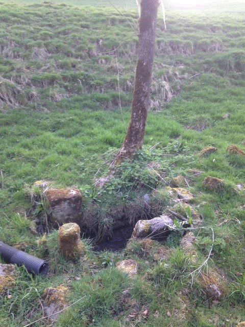
Image: © Paul Elcock Taken: 8 Apr 2020
Shows up as Poppleton Well on some old maps from 1853 but is only a blue dot on the modern OS maps
Images are licensed for reuse under creativecommons.org/licenses/by-sa/2.0
Image Location


Leaflet Map data © OpenStreetMap
Latitude
53.95309
Longitude
-2.166211