Old Milestone by the A388, south of Wooda Bridge
Introduction
The photograph on this page of Old Milestone by the A388, south of Wooda Bridge by Ian Thompson as part of the Geograph project.
The Geograph project started in 2005 with the aim of publishing, organising and preserving representative images for every square kilometre of Great Britain, Ireland and the Isle of Man.

There are currently over 7.5m images from over 14,400 individuals and you can help contribute to the project by visiting https://www.geograph.org.uk
Old Milestone by the A388, south of Wooda Bridge
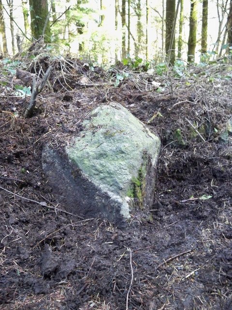
Image: © Ian Thompson Taken: 8 Apr 2010
Carved stone post by the A388, in parish of STOKECLIMSLAND (NORTH CORNWALL District), Lower Norton Farm, S of Wooda Bridge toll house, sunk into ground and buried in bank, on East side of road. Callington HB stone, erected by the Local Highways Board in the 19th century. Inscription once read:- (C / 4½) : : (L / 6) : Listed. Milestone Society National ID: CW_LACL06.
Images are licensed for reuse under creativecommons.org/licenses/by-sa/2.0
Image Location
Latitude
50.564927
Longitude
-4.333965