Grovely Road, Great Wishford
Introduction
The photograph on this page of Grovely Road, Great Wishford by Stephen McKay as part of the Geograph project.
The Geograph project started in 2005 with the aim of publishing, organising and preserving representative images for every square kilometre of Great Britain, Ireland and the Isle of Man.

There are currently over 7.5m images from over 14,400 individuals and you can help contribute to the project by visiting https://www.geograph.org.uk
Grovely Road, Great Wishford
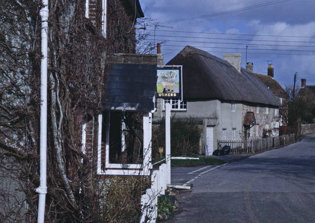
Image: © Stephen McKay Taken: Unknown
Grovely Road becomes West Street at the junction by the thatched cottages. On the immediate left is the Royal Oak pub, then part of the Ushers estate which at one time consisted of some 900 pubs.
Images are licensed for reuse under creativecommons.org/licenses/by-sa/2.0
Image Location
Latitude
51.118646
Longitude
-1.890081