Highfield House
Introduction
The photograph on this page of Highfield House by Gordon Hatton as part of the Geograph project.
The Geograph project started in 2005 with the aim of publishing, organising and preserving representative images for every square kilometre of Great Britain, Ireland and the Isle of Man.

There are currently over 7.5m images from over 14,400 individuals and you can help contribute to the project by visiting https://www.geograph.org.uk
Highfield House
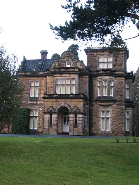
Image: © Gordon Hatton Taken: 30 Dec 2007
Victorian gentlemans residence in the grounds of the former Ripon College, now offices for NYCC Education dept. The house is right on the grid line of two squares [according to the 1:25000 map], but the front and the photo position are both in SE3071.
Images are licensed for reuse under creativecommons.org/licenses/by-sa/2.0
Image Location


Leaflet Map data © OpenStreetMap
Latitude
54.14282
Longitude
-1.528488