New housing on Boundary Road
Introduction
The photograph on this page of New housing on Boundary Road by Bill Boaden as part of the Geograph project.
The Geograph project started in 2005 with the aim of publishing, organising and preserving representative images for every square kilometre of Great Britain, Ireland and the Isle of Man.

There are currently over 7.5m images from over 14,400 individuals and you can help contribute to the project by visiting https://www.geograph.org.uk
New housing on Boundary Road
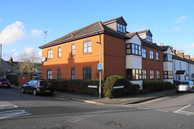
Image: © Bill Boaden Taken: 29 Feb 2020
This was the site of a Primitive Methodist Church until 1987.
Images are licensed for reuse under creativecommons.org/licenses/by-sa/2.0
Image Location
Latitude
51.760324
Longitude
-0.328609