Footpath, Brierdene, Whitley Bay
Introduction
The photograph on this page of Footpath, Brierdene, Whitley Bay by Geoff Holland as part of the Geograph project.
The Geograph project started in 2005 with the aim of publishing, organising and preserving representative images for every square kilometre of Great Britain, Ireland and the Isle of Man.

There are currently over 7.5m images from over 14,400 individuals and you can help contribute to the project by visiting https://www.geograph.org.uk
Footpath, Brierdene, Whitley Bay
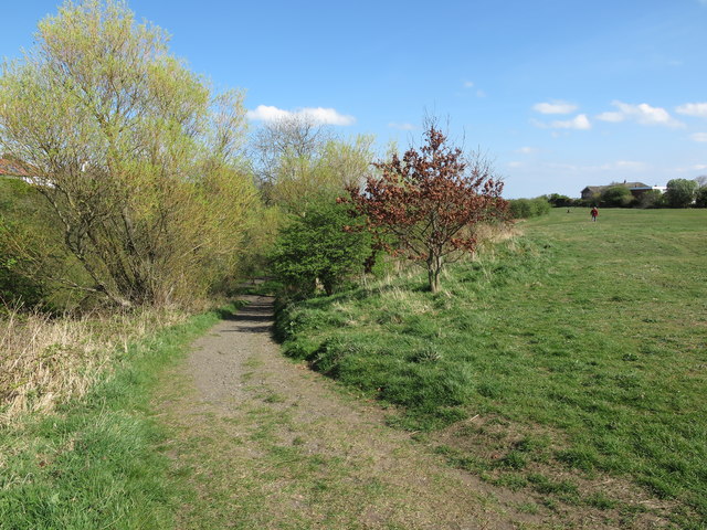
Image: © Geoff Holland Taken: 11 Apr 2020
This footpath descends from the large grassy area above the Brierdene Burn to the burn itself and is one of a number of such access points. This whole area was previously part of Whitley Bay Golf Links, as shown on the 1920 Ordnance Survey Six-Inch map of the area, and is now the Brierdene Wildlife Site. The site is managed by the Friends of Brierdene, with assistance from North Tyneside Council, and contains some 327 species of trees, wild flowers, grasses and herbs. In total some 126 species of birds, 21 species of butterfly, 15 species of bumblebees and 165 different species of moths have at some time been seen here. For a selection of detailed free to download walking routes in the area visit www.northtynesidewalks.co.uk
Images are licensed for reuse under creativecommons.org/licenses/by-sa/2.0
Image Location
Latitude
55.057665
Longitude
-1.459724