Claytops, Pits Wood, off Washingborough Road, Washingborough
Introduction
The photograph on this page of Claytops, Pits Wood, off Washingborough Road, Washingborough by Jo and Steve Turner as part of the Geograph project.
The Geograph project started in 2005 with the aim of publishing, organising and preserving representative images for every square kilometre of Great Britain, Ireland and the Isle of Man.

There are currently over 7.5m images from over 14,400 individuals and you can help contribute to the project by visiting https://www.geograph.org.uk
Claytops, Pits Wood, off Washingborough Road, Washingborough
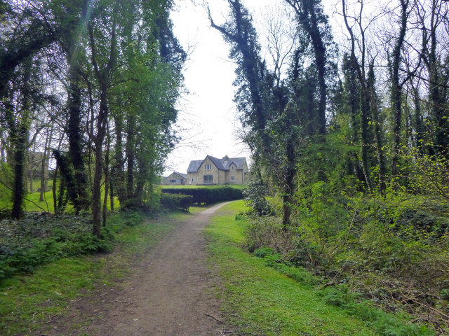
Image: © Jo and Steve Turner Taken: 10 Apr 2020
The house carries a datestone for 1843 and indeed a building of similar footprint is shown on the 1887 OS map but probably a newer build incorporating parts of an earlier house.
Images are licensed for reuse under creativecommons.org/licenses/by-sa/2.0
Image Location
Latitude
53.217484
Longitude
-0.469088