Houses at Bland Hill
Introduction
The photograph on this page of Houses at Bland Hill by Roger Nunn as part of the Geograph project.
The Geograph project started in 2005 with the aim of publishing, organising and preserving representative images for every square kilometre of Great Britain, Ireland and the Isle of Man.

There are currently over 7.5m images from over 14,400 individuals and you can help contribute to the project by visiting https://www.geograph.org.uk
Houses at Bland Hill
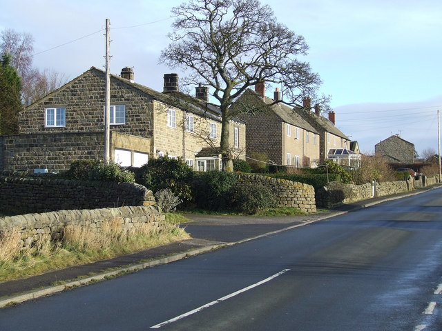
Image: © Roger Nunn Taken: 30 Dec 2007
Bland Hill, as the map suggests, is just a small hamlet at the junction of the B6451 and a minor road that leads to Beckwithshaw and Harrogate.
Images are licensed for reuse under creativecommons.org/licenses/by-sa/2.0
Image Location
Latitude
53.973376
Longitude
-1.685297