North Grampound
Introduction
The photograph on this page of North Grampound by Mike Lyne as part of the Geograph project.
The Geograph project started in 2005 with the aim of publishing, organising and preserving representative images for every square kilometre of Great Britain, Ireland and the Isle of Man.

There are currently over 7.5m images from over 14,400 individuals and you can help contribute to the project by visiting https://www.geograph.org.uk
North Grampound
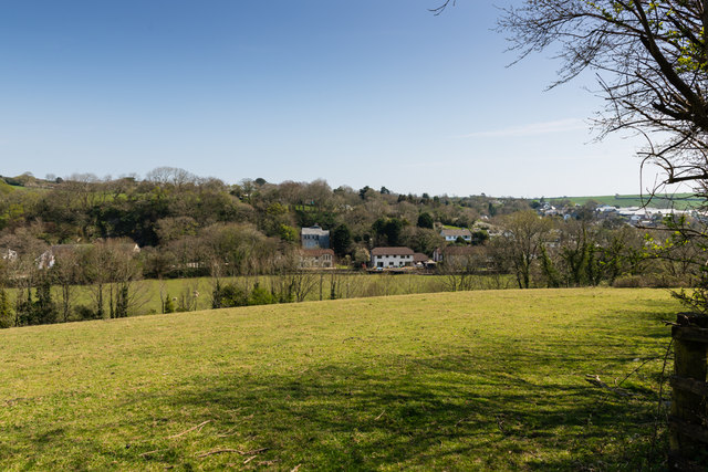
Image: © Mike Lyne Taken: 11 Apr 2020
A photo from the unclassified road between Grampound and Grampound Road looking back at the east side of the village on the hill towards St Austell. The houses are on Mill Lane.
Images are licensed for reuse under creativecommons.org/licenses/by-sa/2.0
Image Location
Latitude
50.300096
Longitude
-4.898572