Benchmark on corner pier of wall bounding #418 Woodborough Road
Introduction
The photograph on this page of Benchmark on corner pier of wall bounding #418 Woodborough Road by Luke Shaw as part of the Geograph project.
The Geograph project started in 2005 with the aim of publishing, organising and preserving representative images for every square kilometre of Great Britain, Ireland and the Isle of Man.

There are currently over 7.5m images from over 14,400 individuals and you can help contribute to the project by visiting https://www.geograph.org.uk
Benchmark on corner pier of wall bounding #418 Woodborough Road
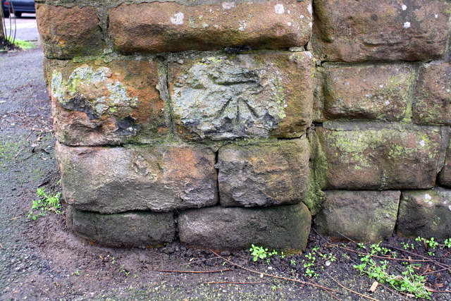
Image: © Luke Shaw Taken: 8 Mar 2019
Ordnance Survey documents indicate that in 1962 this cut mark benchmark levelled at 117.351m above Newlyn Datum was present on this pier
Images are licensed for reuse under creativecommons.org/licenses/by-sa/2.0
Image Location
Latitude
52.972867
Longitude
-1.139396