Path to Bonhill Road
Introduction
The photograph on this page of Path to Bonhill Road by Lairich Rig as part of the Geograph project.
The Geograph project started in 2005 with the aim of publishing, organising and preserving representative images for every square kilometre of Great Britain, Ireland and the Isle of Man.

There are currently over 7.5m images from over 14,400 individuals and you can help contribute to the project by visiting https://www.geograph.org.uk
Path to Bonhill Road
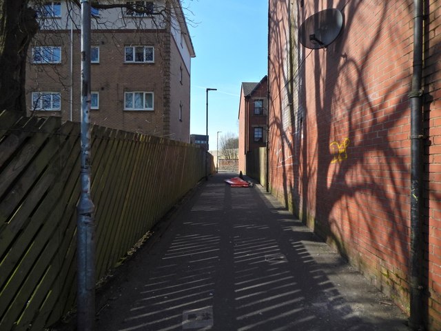
Image: © Lairich Rig Taken: 22 Mar 2020
This path, beside the buildings of Strathleven Place, is much used as a handy route between Bonhill Road and St James Retail Park. It crosses the line of Image, now mostly culverted, and Dumbarton Mill, a grain mill, was located close to the spot shown in the picture. See also Image, another site related to the mill.
Images are licensed for reuse under creativecommons.org/licenses/by-sa/2.0
Image Location
Latitude
55.945922
Longitude
-4.563188