A view across a valley at Tythegston
Introduction
The photograph on this page of A view across a valley at Tythegston by eswales as part of the Geograph project.
The Geograph project started in 2005 with the aim of publishing, organising and preserving representative images for every square kilometre of Great Britain, Ireland and the Isle of Man.

There are currently over 7.5m images from over 14,400 individuals and you can help contribute to the project by visiting https://www.geograph.org.uk
A view across a valley at Tythegston
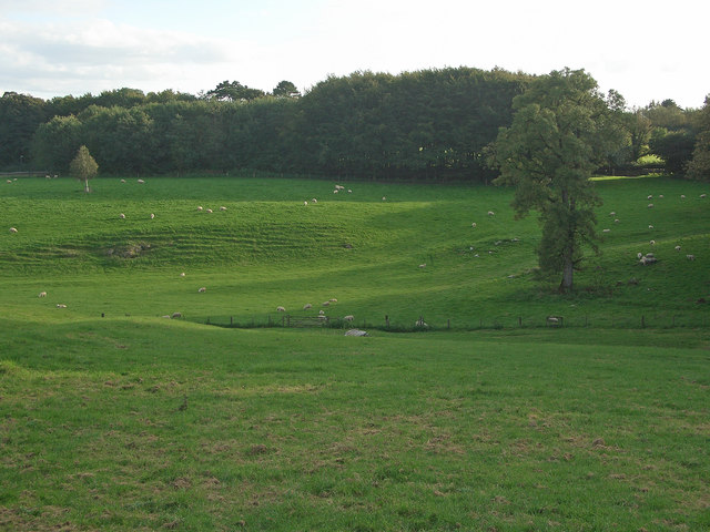
Image: © eswales Taken: 23 Sep 2016
This little valley is crossed by the public footpath which runs northwards from the edge of Tythegston to the A 48 via the ruins of Ty-erfin. The footpath starts at the illuminated gap in the trees/vegetation seen close to the right hand edge of the image.
Images are licensed for reuse under creativecommons.org/licenses/by-sa/2.0
Image Location
Latitude
51.498684
Longitude
-3.6509