
River Wey Navigations at Parvis Wharf
Introduction
The photograph on this page of River Wey Navigations at Parvis Wharf by Sean Davis as part of the Geograph project.
The Geograph project started in 2005 with the aim of publishing, organising and preserving representative images for every square kilometre of Great Britain, Ireland and the Isle of Man.

There are currently over 7.5m images from over 14,400 individuals and you can help contribute to the project by visiting https://www.geograph.org.uk
River Wey Navigations at Parvis Wharf
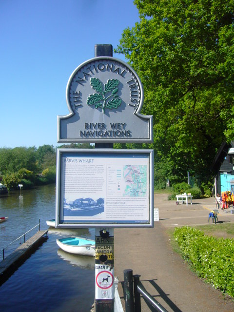
Image: © Sean Davis Taken: 23 May 2010
The River Wey was one of the first in the country to be canalised and some of the locks still retain their original mechanism. The section between Stoke Mill and Sutton Green was first made navigable by Sir Richard Weston, of Sutton Place, between 1618 and 1620. Then through an Act of Parliament, in 1651, the Wey was made navigable all the way from Guildford down to the Thames at Weybridge. The Wey Navigation now belongs to the National Trust. To read more see https://www.nationaltrust.org.uk/river-wey-and-godalming-navigations-and-dapdune-wharf This is also on the route of the London Green Belt Way. To read the notice in the photo see https://www.geograph.org.uk/photo/6439045
Images are licensed for reuse under creativecommons.org/licenses/by-sa/2.0
Image Location

Latitude
51.340409
Longitude
-0.48638