Building on The Dock, Firle
Introduction
The photograph on this page of Building on The Dock, Firle by Robin Webster as part of the Geograph project.
The Geograph project started in 2005 with the aim of publishing, organising and preserving representative images for every square kilometre of Great Britain, Ireland and the Isle of Man.

There are currently over 7.5m images from over 14,400 individuals and you can help contribute to the project by visiting https://www.geograph.org.uk
Building on The Dock, Firle
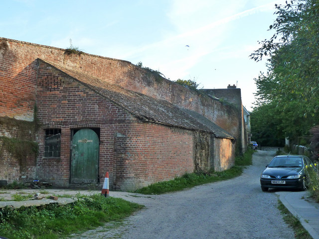
Image: © Robin Webster Taken: 20 Aug 2011
Described on the village conservation area map as 'an unlisted building that makes a positive contribution to the conservation area'. It is built on to, and possibly through, the massive wall that guards the greenhouse area of the Firle Place kitchen gardens. At the far end there are what are presumably doors for a vehicle, so a garage, but that might not be continuous with this end - see Image So what was it and is it? The label on the door here is partly illegible - 'Cauvi...yvose'.
Images are licensed for reuse under creativecommons.org/licenses/by-sa/2.0
Image Location
Latitude
50.846176
Longitude
0.087685