Greenfield Lane/A41 Bridge
Introduction
The photograph on this page of Greenfield Lane/A41 Bridge by BrianPritchard as part of the Geograph project.
The Geograph project started in 2005 with the aim of publishing, organising and preserving representative images for every square kilometre of Great Britain, Ireland and the Isle of Man.

There are currently over 7.5m images from over 14,400 individuals and you can help contribute to the project by visiting https://www.geograph.org.uk
Greenfield Lane/A41 Bridge
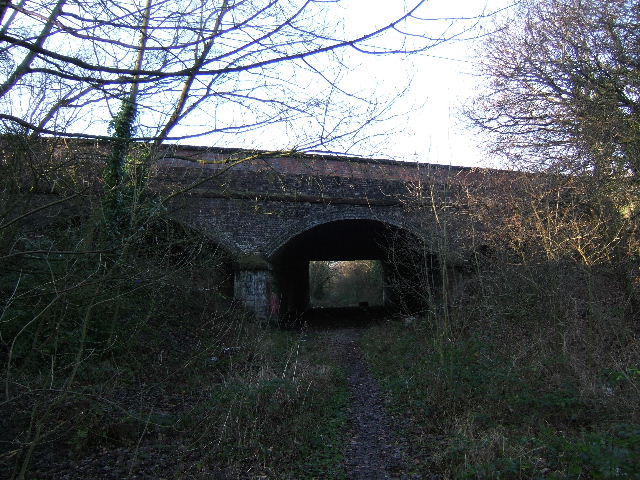
Image: © BrianPritchard Taken: 30 Dec 2007
The A41 is the outer ring road at the north of Chester, from this point on you enter green belt land.
Images are licensed for reuse under creativecommons.org/licenses/by-sa/2.0
Image Location


Leaflet Map data © OpenStreetMap
Latitude
53.208388
Longitude
-2.859994