Tiverton Close, Berkeley-Beverborne
Introduction
The photograph on this page of Tiverton Close, Berkeley-Beverborne by Chris Allen as part of the Geograph project.
The Geograph project started in 2005 with the aim of publishing, organising and preserving representative images for every square kilometre of Great Britain, Ireland and the Isle of Man.

There are currently over 7.5m images from over 14,400 individuals and you can help contribute to the project by visiting https://www.geograph.org.uk
Tiverton Close, Berkeley-Beverborne
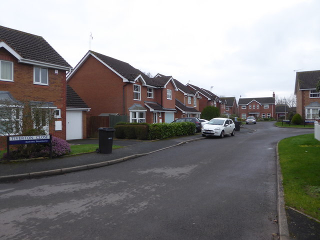
Image: © Chris Allen Taken: 24 Jan 2020
Tiverton Close curves round to the right by the street sign on the extreme right while Amroth Gardens are straight ahead. The Warndon Villages complex has a very large number of named streets.
Images are licensed for reuse under creativecommons.org/licenses/by-sa/2.0
Image Location
Latitude
52.211713
Longitude
-2.178359