Former Black Bull Inn, Topcliffe
Introduction
The photograph on this page of Former Black Bull Inn, Topcliffe by Gordon Hatton as part of the Geograph project.
The Geograph project started in 2005 with the aim of publishing, organising and preserving representative images for every square kilometre of Great Britain, Ireland and the Isle of Man.

There are currently over 7.5m images from over 14,400 individuals and you can help contribute to the project by visiting https://www.geograph.org.uk
Former Black Bull Inn, Topcliffe
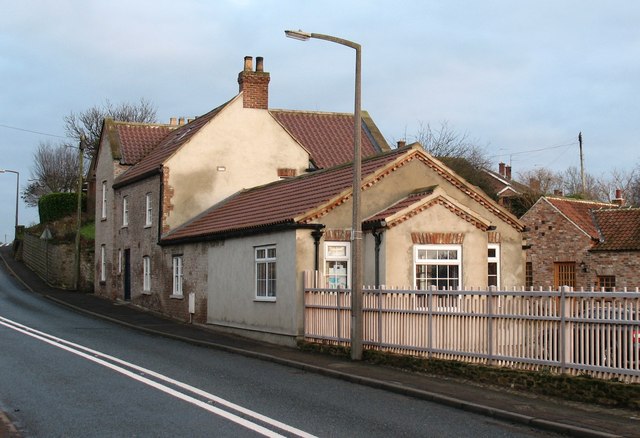
Image: © Gordon Hatton Taken: 30 Dec 2007
The Black Bull stood opposite the toll house on the way into the village from the south and west. In the 18th century it was the Half Moon. The pub closed to the public in 1982, after which it became a club attached to the caravan site.
Images are licensed for reuse under creativecommons.org/licenses/by-sa/2.0
Image Location
Latitude
54.177522
Longitude
-1.390514