Bend on Sandridgebury Lane
Introduction
The photograph on this page of Bend on Sandridgebury Lane by Bill Boaden as part of the Geograph project.
The Geograph project started in 2005 with the aim of publishing, organising and preserving representative images for every square kilometre of Great Britain, Ireland and the Isle of Man.

There are currently over 7.5m images from over 14,400 individuals and you can help contribute to the project by visiting https://www.geograph.org.uk
Bend on Sandridgebury Lane
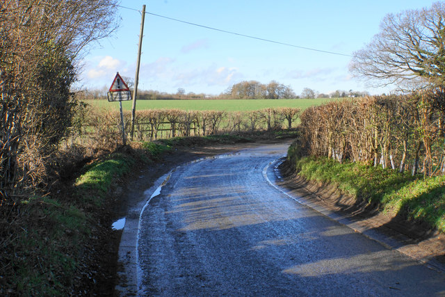
Image: © Bill Boaden Taken: 29 Feb 2020
The sign says the road is liable to flooding, with the ditch to the left operating smoothly. However, round the bend, see this view Image
Images are licensed for reuse under creativecommons.org/licenses/by-sa/2.0
Image Location
Latitude
51.772945
Longitude
-0.330897