Sign near St Mary's Island, Whitley Bay
Introduction
The photograph on this page of Sign near St Mary's Island, Whitley Bay by Geoff Holland as part of the Geograph project.
The Geograph project started in 2005 with the aim of publishing, organising and preserving representative images for every square kilometre of Great Britain, Ireland and the Isle of Man.

There are currently over 7.5m images from over 14,400 individuals and you can help contribute to the project by visiting https://www.geograph.org.uk
Sign near St Mary's Island, Whitley Bay
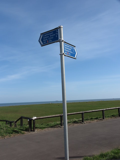
Image: © Geoff Holland Taken: 7 Apr 2020
The post bears two signs indicating the route of the National Cycle Network Route 1, a 2,769 km-long cycle-path running from Dover to Shetland. After a long stretch of paved cycling for those travelling south to north the route soon heads off-road for a short while. For a selection of detailed free to download walking routes in the area visit www.northtynesidewalks.co.uk
Images are licensed for reuse under creativecommons.org/licenses/by-sa/2.0
Image Location


Leaflet Map data © OpenStreetMap
Latitude
55.064579
Longitude
-1.458379