Old Boundary Marker
Introduction
The photograph on this page of Old Boundary Marker by Mr Red as part of the Geograph project.
The Geograph project started in 2005 with the aim of publishing, organising and preserving representative images for every square kilometre of Great Britain, Ireland and the Isle of Man.

There are currently over 7.5m images from over 14,400 individuals and you can help contribute to the project by visiting https://www.geograph.org.uk
Old Boundary Marker
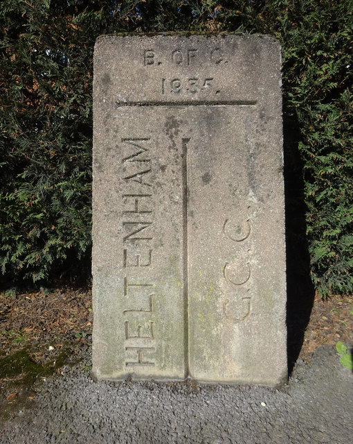
Image: © Mr Red Taken: 11 Mar 2019
Municipal Boundary Marker on the north side of the junction where Greenhills Road meets Charlton Lane. The boundary of Cheltenham and Charlton Kings parish. Inscribed CHELTENHAM on the left, G. C. C. on the right (both vertically with a vertical dividing line between them) and B. OF C. / 1935 at the top. Milestone Society National ID: GL_CMCK01pb
Images are licensed for reuse under creativecommons.org/licenses/by-sa/2.0
Image Location
Latitude
51.88065
Longitude
-2.067579