Old Boundary Marker
Introduction
The photograph on this page of Old Boundary Marker by D Dickson as part of the Geograph project.
The Geograph project started in 2005 with the aim of publishing, organising and preserving representative images for every square kilometre of Great Britain, Ireland and the Isle of Man.

There are currently over 7.5m images from over 14,400 individuals and you can help contribute to the project by visiting https://www.geograph.org.uk
Old Boundary Marker
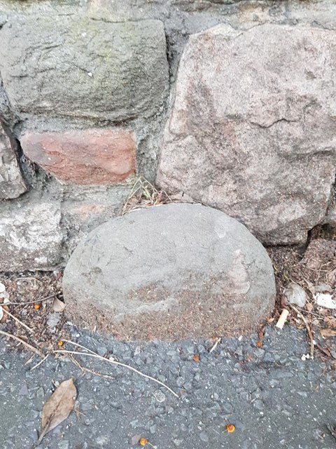
Image: © D Dickson Taken: 5 Jan 2019
Parish Boundary Marker against stone wall on the south side of St Michaels Hill, Bristol. It may mark the boundary of St Michael's ward. See also http://www.geograph.org.uk/photo/5462300 Milestone Society National ID: GL_BSSM01pb
Images are licensed for reuse under creativecommons.org/licenses/by-sa/2.0
Image Location


Leaflet Map data © OpenStreetMap
Latitude
51.4618
Longitude
-2.603068