Craigallian Lodge
Introduction
The photograph on this page of Craigallian Lodge by Richard Sutcliffe as part of the Geograph project.
The Geograph project started in 2005 with the aim of publishing, organising and preserving representative images for every square kilometre of Great Britain, Ireland and the Isle of Man.

There are currently over 7.5m images from over 14,400 individuals and you can help contribute to the project by visiting https://www.geograph.org.uk
Craigallian Lodge
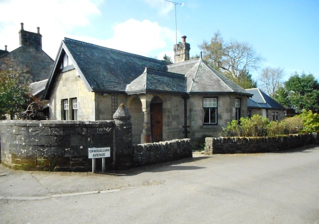
Image: © Richard Sutcliffe Taken: 7 Apr 2020
A Category C listed lodge house at the junction of Craigallian Avenue and Mugdock Road, dating from the mid-19th century. It was one of the lodges for Craigallian House Image about 3km to the northwest. The building has been extended in recent years.
Images are licensed for reuse under creativecommons.org/licenses/by-sa/2.0
Image Location
Latitude
55.950094
Longitude
-4.316303