Towards Middlecott
Introduction
The photograph on this page of Towards Middlecott by Derek Harper as part of the Geograph project.
The Geograph project started in 2005 with the aim of publishing, organising and preserving representative images for every square kilometre of Great Britain, Ireland and the Isle of Man.

There are currently over 7.5m images from over 14,400 individuals and you can help contribute to the project by visiting https://www.geograph.org.uk
Towards Middlecott
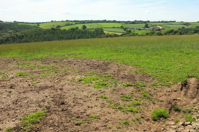
Image: © Derek Harper Taken: 22 Jun 2019
From the gate seen on the left of Image, beside Image Middlecott, the farm right of centre, is in Image on the other side of the Hudley Mill valley.
Images are licensed for reuse under creativecommons.org/licenses/by-sa/2.0
Image Location
Latitude
51.075745
Longitude
-3.882764