Housing at Pantside
Introduction
The photograph on this page of Housing at Pantside by Graham Horn as part of the Geograph project.
The Geograph project started in 2005 with the aim of publishing, organising and preserving representative images for every square kilometre of Great Britain, Ireland and the Isle of Man.

There are currently over 7.5m images from over 14,400 individuals and you can help contribute to the project by visiting https://www.geograph.org.uk
Housing at Pantside
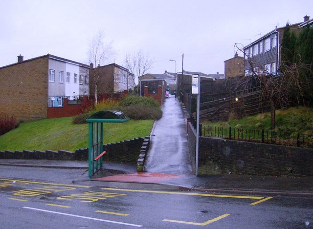
Image: © Graham Horn Taken: 28 Dec 2007
The suburb of Pantside just touches the north-western part of the square. Here, from the main estate road, a footpath leads into the terraced rows of housing.
Images are licensed for reuse under creativecommons.org/licenses/by-sa/2.0
Image Location
Latitude
51.674622
Longitude
-3.128399